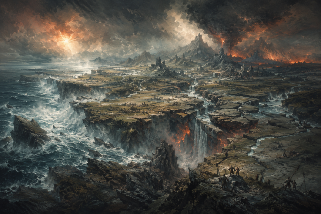
At the end of the First Age, victory over Morgoth did not leave Middle-earth ready for a new beginning. It left much of its oldest remembered landscape underwater.
The great realms of Beleriand were already broken before the final war. Nargothrond had fallen. Gondolin had burned. Doriath was gone. The Havens of Sirion had suffered the last Kinslaying. Yet the land itself remained: the rivers, mountains, forests, roads, and ruins across which the tragedies of the Elder Days had unfolded.
Then came the War of Wrath.
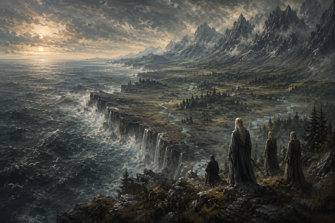
When the Host of the West finally overthrew Morgoth, the struggle was so catastrophic that Beleriand was broken. Most of the country west of the Blue Mountains disappeared beneath the Great Sea. Places that had once stood deep inland became seabed. Heights became islands. The surviving eastern edge of the old country suddenly faced an ocean that had once lain far to the west.
Before the Second Age could build its new kingdoms, the map itself had to become new.
Victory That Destroyed the Battlefield
The War of Wrath was the answer to a crisis that the peoples of Beleriand could no longer solve themselves.
After the ruin of the great Elven kingdoms, Eärendil reached Aman and pleaded for aid on behalf of Elves and Men. The response was the Host of the West, led into Middle-earth by Eönwë, herald of Manwë.
The surviving Edain fought beside that host. Morgoth released the remaining strength of Angband, and near the end he sent out the winged dragons, whose assault temporarily drove back the forces of the West. Eärendil, sailing Vingilot in the heavens, came with the great Eagles, and Ancalagon the Black was eventually cast down upon Thangorodrim.
Morgoth was defeated, captured, and removed from the world.
But the victory had a geographical price.
The Silmarillion describes Beleriand as broken in the convulsions of the war, with the sea entering through great chasms. It does not provide a geological sequence explaining precisely how every region sank, nor should the event be reduced to a modern natural mechanism Tolkien never gives.
What the text makes unmistakable is the result: the physical world of the First Age was shattered along with Morgoth’s power.
Beleriand Did Not Simply Become Lindon
One of the easiest misconceptions is to imagine Beleriand surviving under a different name.
That is not what happened.
Lindon represents a surviving fragment of the old geography, not Beleriand renamed. Its heart lay in the former Ossiriand, the Land of Seven Rivers, east of the Gelion and beside the Blue Mountains.
Before the catastrophe, Ossiriand was part of East Beleriand. It was nowhere near the westernmost shore of the continent. To reach the Great Sea from there, a traveler would have crossed enormous stretches of Beleriand.
After the War of Wrath, most of those lands were gone.
The sea now lay directly west of the surviving country.
This is one of the most dramatic geographical reversals in Middle-earth. A region once protected behind the breadth of Beleriand became the edge of the world known to the peoples who remained in northwestern Middle-earth.
The old east had become the new west.
The Blue Mountains Were Broken Open
The transformation did not stop at the disappearance of the lands beyond the mountains.
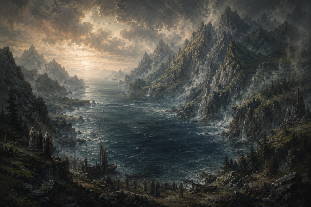
The sea broke through the Ered Luin, the Blue Mountains, creating the Gulf of Lhûn. That new gulf became one of the defining geographical features of the Second and Third Ages.
This matters because the later map familiar from The Lord of the Rings is built around consequences like this.
The Blue Mountains no longer formed the same continuous boundary they had in the First Age. The Gulf of Lhûn cut into them from the west, separating the northern and southern parts of Lindon.
Along this altered coast would stand the havens associated with the Elves of Lindon, most importantly Mithlond, the Grey Havens.
Yet there is an important order to the story.
The havens did not create the coast.
The catastrophe created the coast, and the survivors adapted to it.
Before ships could depart from the Grey Havens, there first had to be a Gulf of Lhûn.
Mountains Became Islands
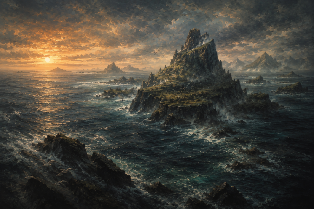
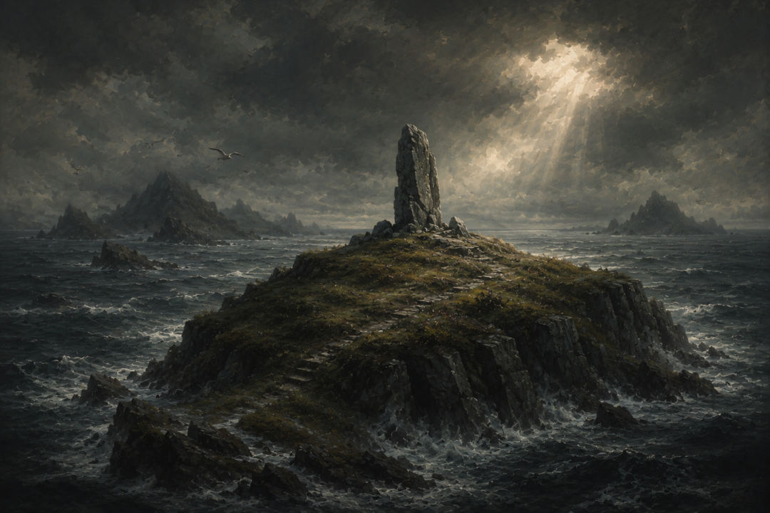
The drowning of Beleriand produced another haunting effect: some of the old land was not entirely erased.
High places could remain above the water.
Himring, the great hill where Maedhros had maintained his fortress during the wars against Morgoth, survived in later geography as an island off the new coast. Tolkien’s later mapping preserves it as Himling.
Part of the highlands associated with Dorthonion also endured as Tol Fuin.
Most poignant of all is Tol Morwen.
The Stone of the Hapless, raised over Túrin’s grave and bearing the memory of Morwen, stood upon ground that was not overwhelmed. The Silmarillion says that the waters did not cover it, and Tol Morwen remained as an island after the ruin of Beleriand.
The symbolism is difficult to miss even without adding anything to the text.
Kingdoms disappeared beneath the sea, while a grave remained.
The First Age did not leave behind a neat political inheritance. It left fragments: peaks, islands, memories, survivors, and names detached from the landscapes that had once given them meaning.
The Survivors Inherited a Shoreline, Not an Empty World
When the Second Age began, its peoples were not entering a clean landscape.
They were living beside the remains of a catastrophe.
Many Elves accepted the summons to depart into the West. Others remained in Middle-earth. Gil-galad became the great Elven ruler of Lindon, while Círdan continued his ancient association with ships and havens.
Lindon therefore became one of the first major political centers of the new age.
But its geography was older than its kingdom.
Its inhabitants lived on surviving pieces of a country whose greater part had vanished. Offshore lay remnants of the Elder Days. Westward stretched the sea across places where the kingdoms of Finrod, Turgon, Thingol, Fingon, and others had once stood.
This gives Lindon a character unlike that of a kingdom founded by ordinary expansion.
Its coast was effectively a scar.
The political geography of the Second Age was constructed only after the physical geography had been violently rewritten.
What Was Lost Beneath the Sea
The scale becomes clearer when we remember what Beleriand contained.
The River Sirion had run south through the heart of the land. Doriath lay about its middle regions. Nargothrond stood beside the Narog in the west. Gondolin had been hidden among the Encircling Mountains in the north. The Falas had faced the old western sea, while Ossiriand lay far away beside the Blue Mountains in the east.
After the War of Wrath, almost this entire arrangement ceased to exist as inhabited geography.
The texts do not provide enough detail to place every drowned ruin confidently on a later map, and it would go beyond the evidence to describe particular cities sitting intact beneath the waves. What can safely be said is more powerful: the lands containing them were overwhelmed or destroyed.
The familiar western coastline of later Middle-earth therefore marks an enormous absence.
Standing on the shores of Lindon in the Second Age meant standing near what had once been the eastern margin of a much larger world.
A New Age Began With Loss, Not Construction
The phrase “Second Age” can make history sound orderly, as though one period ended and another immediately began with fresh kingdoms waiting to be founded.
Geographically, the transition was far more violent.
First came the destruction of Morgoth’s power.
Then came the broken land and advancing sea.
Only afterward did the survivors establish the political world associated with the new age: Lindon under Gil-galad, the Grey Havens on the Gulf of Lhûn, and eventually other Elven realms farther east. The Edain who had aided the Host of the West were rewarded with a new homeland beyond the coasts of Middle-earth: Númenor.
So the new political order arose in response to a transformed world.
That distinction matters.
The War of Wrath did not merely remove the villain of the First Age so history could continue. It destroyed much of the stage upon which that history had taken place.
The Coastline Became a Boundary Between Ages
There is a deeper reason the drowning of Beleriand feels different from the ordinary fall of a kingdom.
Ruined kingdoms can be revisited.
Their roads may survive. Their walls can become monuments. Descendants can return and point to the places where their ancestors lived.
Beleriand largely denied its survivors that possibility.
Its destruction turned geography itself into memory.
The people of later ages could preserve names, songs, genealogies, stories, and a few surviving fragments, but much of the physical country of those stories lay beyond recovery beneath the sea.
That makes the new coastline more than a cartographic curiosity.
It is one of the great dividing lines in the history of Middle-earth.
On one side of it is the later world: Lindon, Eriador, the Grey Havens, and eventually the kingdoms and conflicts familiar from the Second and Third Ages.
Beyond it, beneath the western sea, lies the vanished geography of the Elder Days.
The War of Wrath ended Morgoth’s dominion. But before anyone could build the kingdoms of the age that followed, the victory changed where land ended and the sea began.
Middle-earth entered the Second Age not simply with new rulers.
It entered it with a new shore.
Sources & Notes
- https://www.glyphweb.com/arda/w/warofwrath.html
- https://www.glyphweb.com/arda/b/beleriand.html
- https://www.glyphweb.com/arda/l/lindon.html
- https://www.glyphweb.com/arda/g/gulfoflune.html
- https://www.glyphweb.com/arda/b/bluemountains.html
- https://www.glyphweb.com/arda/h/himring.html
- https://www.glyphweb.com/arda/h/himling.html
Sources on the War of Wrath and the resulting loss of Beleriand, survival of Lindon, creation of the Gulf of Lune through the Blue Mountains, and Himring’s survival as Himling island.