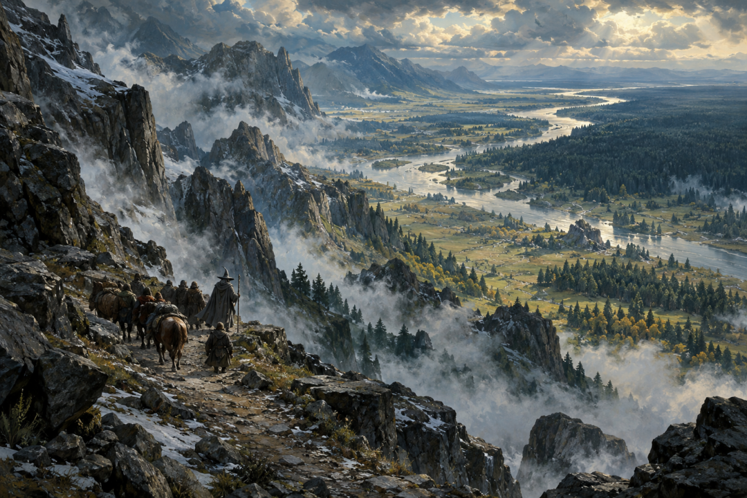
The Misty Mountains look like a single wall on a map. For anyone trying to cross them, however, the important question was not simply where a pass existed. It was where that pass delivered you.
That difference explains why two of the best-known crossings—the High Pass east of Rivendell and the Redhorn Pass beneath Caradhras—belonged to very different patterns of movement.
Bilbo and Thorin’s company approached the High Pass because their road ultimately led toward Wilderland and Erebor. Centuries earlier, the ancient road associated with that crossing continued across Anduin and through Greenwood. The Redhorn Pass, by contrast, stood much farther south, beside the Mountains of Moria. Its western approaches ran through Eregion, while its eastern descent entered Dimrill Dale beside Khazad-dûm and near the routes toward Lothlórien.
Both crossed the same mountain chain. But they connected different worlds.
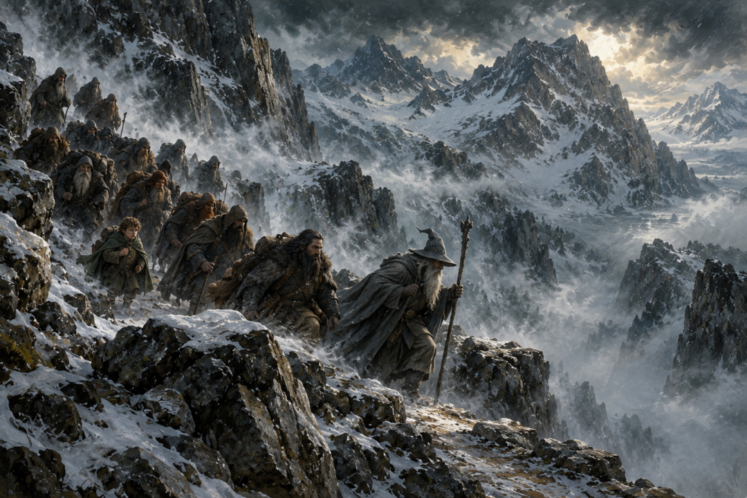
The Misty Mountains Did Not Have One East-West Road
Modern maps can encourage us to imagine passes as interchangeable gaps in a barrier. Middle-earth’s geography makes that misleading.
The High Pass—also called the Pass of Imladris and Cirith Forn en Andrath—crossed the mountains east of Rivendell. On the eastern side, its road descended toward the Vales of Anduin and the crossing later known as the Old Ford. From there the ancient Forest Road continued into Greenwood the Great, later Mirkwood.
The Redhorn Pass, or Redhorn Gate, lay considerably farther south beneath Caradhras. From Eregion an old road approached the mountains, while the eastern side descended by the Dimrill Stair into Dimrill Dale.
That placed the two crossings in fundamentally different geographic systems.
The High Pass linked northern Eriador with the central Vales of Anduin and the great eastward road through the forest.
The Redhorn Pass connected the country of Eregion with the immediate neighborhood of Khazad-dûm and, beyond the mountains, the lands around Dimrill Dale and Lórien.
The distinction becomes clearer when we stop looking only at the mountains and start following the roads beyond them.
The High Pass Belonged to a Long Northern Corridor
The road associated with the High Pass was extraordinarily old.
In material preserved in Unfinished Tales, the Forest Road is identified with the ancient Dwarf-road, Men-i-Naugrim. It descended from the Pass of Imladris, crossed Anduin, and continued through Greenwood. A bridge had once stood at the Anduin crossing and had been enlarged for the armies of the Last Alliance; by the later Third Age, the crossing was the Old Ford.
This is crucial because the High Pass was not merely a way to get from one side of the Misty Mountains to the other. It formed one link in a much longer east-west chain.
Westward lay Rivendell and the roads of Eriador. Eastward lay the Anduin crossing and the Forest Road penetrating deep into Wilderland.
The route therefore makes geographical sense for travellers whose destination lay far to the east.
That is precisely the pattern seen in The Hobbit.
Thorin Oakenshield’s company leaves the Shire, travels east through Eriador, reaches Rivendell, and then attempts the mountain crossing. Their ultimate destination is Erebor, far beyond both the Misty Mountains and Mirkwood.
The High Pass fits that journey because it feeds naturally into the northern Wilderland network.
Their problem is that by 2941 the old network is badly degraded.
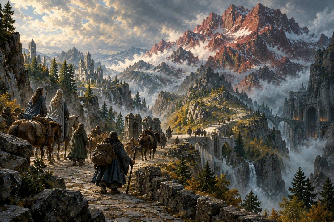
Bilbo’s Journey Shows a Road System in Decline
The Hobbit presents the High Pass at one of the worst periods in its history.
The mountain crossing itself is dangerous. Goblins have tunnels beneath the mountains and entrances opening near routes used by travellers. Thorin’s company is captured after taking shelter during the violent mountain storm.
Yet even escaping the mountains does not restore the usefulness of the ancient eastward highway.
After reaching Beorn’s lands, the company learns that the old Forest Road is no longer a sensible way through Mirkwood. Its eastern reaches have deteriorated, and the travellers instead use the more northerly path through the forest.
This creates an important contrast between the existence of a route and the survival of the network that once made it valuable.
The High Pass still exists.
The Old Ford still exists.
The Forest Road still exists.
But the ancient system connecting them has become fragmented by goblins, dangerous wilderness, the Shadow over Mirkwood, and the decline of settled authority.
By the time of the War of the Ring, the situation has improved in one respect. Glóin tells the Council of Elrond that the Beornings keep open the High Pass and the Ford of Carrock, though they demand tolls.
That detail reveals the continuing strategic value of the northern crossing. Keeping a mountain pass open mattered because it maintained communication between the lands west of the mountains and the peoples of the upper Anduin region.
The Redhorn Pass Faced a Different World
The Redhorn Pass should not be understood simply as a southern alternative to Bilbo’s route.
Its geography tells another story.
On its western side lay Eregion, the ancient Elvish realm of the Second Age. The Fellowship finds the remains of an old road there, still showing signs that it had once been broad and carefully constructed.
Immediately beneath and beside the pass stood one of the greatest centres of the ancient world: Khazad-dûm.
The Redhorn Pass crossed the mountains near the three great peaks above Moria—Caradhras, Celebdil, and Fanuidhol. On the eastern side, the route descended toward Dimrill Dale, the valley containing Kheled-zâram, the Mirrormere sacred in the traditions of Durin’s Folk.
This was therefore a crossing embedded in the geography of Eregion and Khazad-dûm.
During the Second Age those regions were not ruins. Eregion was a flourishing Elvish realm, and Khazad-dûm was at the height of its wealth and power. The friendship and commerce between the Elves of Eregion and the Dwarves of Khazad-dûm are explicitly important in the history of that age.
It would go beyond the texts to reconstruct exact traffic volumes or assign every surviving stretch of road to a single people. But the broader pattern is secure: the Redhorn region belonged to a major zone of Elvish and Dwarvish interaction.
The pass’s importance was therefore tied to a different geographic centre from the High Pass.
One Route Looked Toward Wilderland; the Other Toward Moria
This is the simplest way to understand the distinction.
Follow the High Pass east and the road leads toward Anduin, the Old Ford, and the ancient route through Greenwood.
Follow the Redhorn Pass east and you descend into Dimrill Dale beside Khazad-dûm, with Lothlórien not far beyond.
Their western approaches were different as well.
The High Pass was closely associated with Imladris. The Redhorn Pass rose from the old lands of Eregion.
These were not rigidly exclusive networks. Armies and individual travellers could choose routes according to circumstances, and the history of the Last Alliance shows that more than one crossing could serve large movements across the range.
But as geographic corridors, the two passes pointed toward different nodes.
That helps explain another otherwise curious detail: Celebrían’s choice of route.
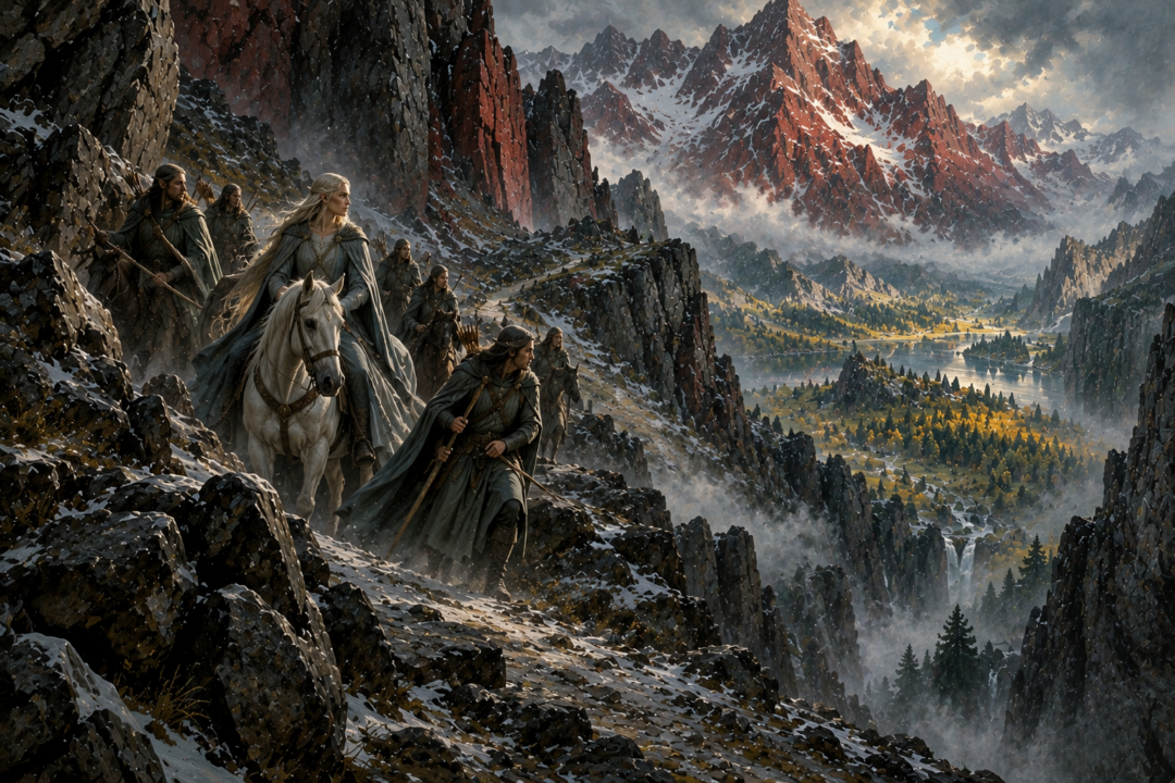
Celebrían Reveals the Redhorn Pass’s North-South Connection
In Third Age 2509, Celebrían, wife of Elrond and daughter of Galadriel and Celeborn, was travelling from Rivendell to Lórien when Orcs attacked her in the Redhorn Pass.
At first glance, someone looking only at a map might wonder why a traveller leaving Rivendell did not simply use the nearby High Pass.
Her destination explains the logic.
Crossing by the High Pass would have brought her into the Vales of Anduin far north of Lórien. The Redhorn Pass, despite requiring travel south through Eriador before crossing the mountains, emerged at Dimrill Dale, immediately northwest of Lórien.
Her journey demonstrates that the useful pass depended on where the traveller intended to go after crossing.
The incident also shows how dangerous these ancient arteries had become. Celebrían travelled with an escort, yet Orcs scattered it, captured her, and inflicted a poisoned wound before Elladan and Elrohir rescued her. Though Elrond healed her bodily, she departed Middle-earth the following year.
The old road still connected Rivendell’s world with Lórien. But the security that might once have made such journeys ordinary could no longer be assumed.
The Fellowship Chose the Redhorn Pass for the Same Geographic Reason
When the Fellowship leaves Rivendell in 3018, it initially heads south rather than immediately crossing the mountains.
That decision is easy to understand once the two road systems are distinguished.
The Company is not travelling toward Erebor or northern Wilderland. Its ultimate destination is Mordor, and its nearer course leads toward the lands south and east of Eregion.
The High Pass would have deposited them far to the north in the Anduin Vales. They would then have needed to recover that lost distance while navigating territory increasingly threatened by the Enemy.
The Redhorn Pass offered a much more direct crossing for their southern journey.
Aragorn knew the route and had crossed the Misty Mountains many times. Yet Caradhras defeated the Company. Snow, wind, and falling stones forced them to retreat, and the question of whether the mountain itself possessed hostile intent is deliberately left uncertain in the narrative. Gimli, at least, insists that Caradhras had an evil reputation long before Sauron’s present designs.
Unable to cross above the mountains, the Fellowship eventually passes beneath them through Moria.
Remarkably, they emerge almost exactly where the Redhorn route would have delivered them: Dimrill Dale.
That geographical fact exposes the underlying logic of their plan. Redhorn Pass and Moria were radically different ways through the mountains, but for this journey they belonged to the same broad corridor.
Both led from Eregion toward Dimrill Dale and Lórien.
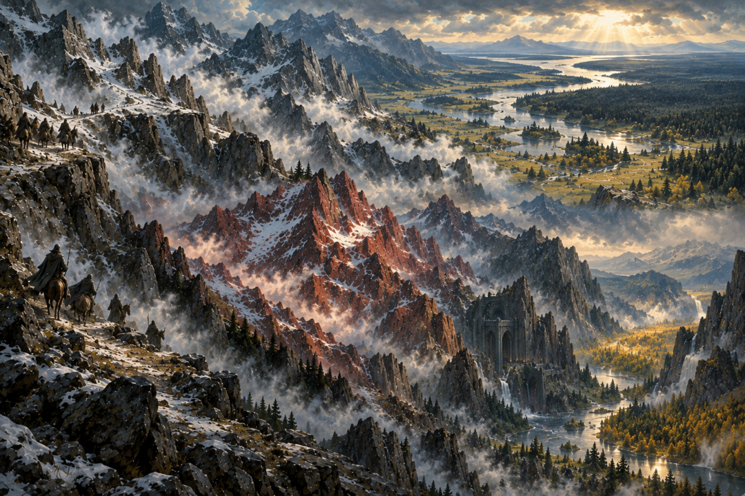
Two Passes Preserve Two Layers of Middle-earth’s History
The deeper significance of these roads is historical.
The High Pass preserves the outline of an ancient transcontinental route: west through Eriador, over the mountains near Rivendell, across Anduin, and onward through Greenwood.
The Redhorn Pass preserves the geography of another vanished world: Eregion beside mighty Khazad-dûm, with movement continuing east into Dimrill Dale and the lands beyond.
By the end of the Third Age, both systems survive only imperfectly.
Eregion is empty.
Khazad-dûm has become Moria.
The Forest Road has deteriorated.
Orcs infest the mountains.
Travellers depend on refuges such as Rivendell, local powers such as the Beornings, secrecy, armed escorts, or sheer luck.
Yet the old roads still shape every journey.
That may be the most revealing thing about the two passes. Geography in Middle-earth remembers civilizations after the civilizations themselves have vanished.
Bilbo, Celebrían, and the Fellowship cross—or attempt to cross—the same mountains for very different reasons. Their choices are not arbitrary. Beneath each journey lies an older map of trade, friendship, settlement, and power.
The High Pass and Redhorn Pass were both doors through the Misty Mountains.
But they opened onto different Middle-earths.
Sources & Notes
- Tolkien Gateway — High Pass: the Imladris crossing, northern routes and Beorning protection — https://tolkiengateway.net/wiki/High_Pass
- Tolkien Gateway — Redhorn Gate: Eregion, Dimrill Dale and Celebrían's journey — https://tolkiengateway.net/wiki/Redhorn_Gate
- Tolkien Gateway — Old Forest Road: the Dwarf-road, Anduin bridge and decline of the eastward route — https://tolkiengateway.net/wiki/Old_Forest_Road
Primary reading: The Hobbit, 'Over Hill and Under Hill' and 'Queer Lodgings'; The Fellowship of the Ring, 'The Council of Elrond' and 'The Ring Goes South'; Appendix A, 'The Tale of Aragorn and Arwen'; and Unfinished Tales, 'The Disaster of the Gladden Fields', note 14. The linked reference guides support the geography; the comparison of route networks is interpretive, not a reconstruction of measured traffic.