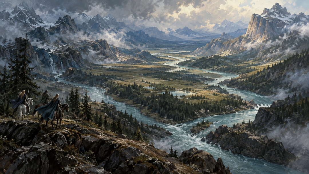
When the Haladin take refuge in Thargelion, their story settles near a very particular piece of geography: the angle made by Gelion and Ascar. That corner can shelter a people, mark a region, carry a road toward a ford, and later become part of a battlefield. None of those uses requires Gelion to behave like one continuous international frontier. Near its sources, its two headstreams frame Maglor’s ward. Farther south, the joined Gelion divides Estolad from Thargelion. Below the Ascar, it forms the western edge of Ossiriand. The same watercourse therefore organizes several different landscapes and political situations. Reading it well means asking a local question at each reach: what does Gelion separate here, for whom, and at what moment?
One River, Several Kinds of Boundary
Gelion is one of the great organizing lines of East Beleriand because it is repeatedly used to locate other places. Yet a map label can answer more than one kind of question. A river may tell us where one region lies in relation to another, where a lord’s ward was reckoned, where travelers crossed, or where a people happened to settle. Those are not automatically the same as an enduring political border.
Thargelion can be described as the country east of Gelion and north of Ascar, while also being associated with Caranthir and called Dor Caranthir. Estolad is a named plain west of the river, but its importance comes from settlement as much as lordship. Downstream, Ossiriand is defined by a river system, with Gelion on its western side. Physical geography stays legible while the political story shifts.
The Fork Frames Maglor’s Ward
Gelion does not begin as a single river. Little Gelion rises near Himring and runs southeast; Greater Gelion comes down from beneath Mount Rerir, farther east. They meet and become the long Gelion. That fork matters because the texts use the two upper streams to describe Maglor’s ward: the land lies between the arms of Gelion, with Little Gelion marking its southwestern side and Greater Gelion its eastern side.
This is already more complicated than imagining a single border running north to south. The important unit here is the space enclosed by two related streams before their confluence. The rivers frame a ward rather than simply dividing two equal territories. The headwaters show how a river system can organize space through shape as well as separation. What matters is not “which side of Gelion?” in the abstract, but which branch and which stretch.
The surrounding country reinforces that point. Himring, Maglor’s Gap, Mount Rerir, Lake Helevorn, and the upper waters form a northeastern geography. Caranthir’s seat at Helevorn lay east of the main line of the upper river, while Maglor’s ward was described between the arms. These references locate neighboring spheres without giving us a surveyed network of fixed state borders. The texts give wards, lands, roads, rivers, and strongholds, not a single constitutional map.
The Joined Gelion Separates Estolad and Thargelion
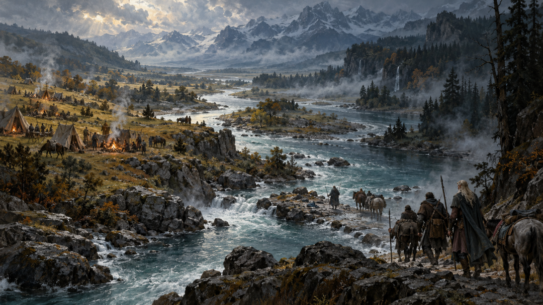
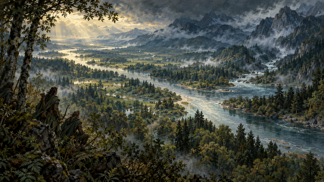
After Little and Greater Gelion meet, the relationship changes. The joined river runs south with Estolad to the west and Thargelion to the east, at least in the reach above Ascar. Here Gelion clearly separates two named regions. But even this cartographic contrast should not be inflated into two modern sovereign states staring at each other across a permanent frontier.
Estolad’s identity is tied strongly to habitation. Its name means “Encampment,” and it became the early dwelling place of the People of Bëor after their arrival in Beleriand. The people of Marach also came there, settling in relation to those already present. Some later moved farther west, while others remained. The plain therefore matters because groups arrive, dwell, divide, and depart there, not because its edges were enforced as a sealed jurisdiction.
Thargelion has a different profile. It is the land east of Gelion, between the river and the Blue Mountains, north of Ascar, and is closely associated with Caranthir. The same country bears names that emphasize different things: an eastern land, a land across Gelion, and Dor Caranthir. Geography, language, and political association can all name the same space without collapsing into one permanent category.
The river between Estolad and Thargelion therefore gives a clean regional relation while the populations on either side remain less tidy. A line on a map tells us where the two regions lie; it does not tell us that everyone west of it belongs to one polity and everyone east to another. In a landscape crossed by Elves, Edain, Dwarves, roads, raids, and migrations, political belonging cannot simply be read off the nearest bank.
At Ascar, Gelion Enters the Seven-Rivers Country
The Ascar creates another change. Thargelion lies north of that tributary, while south of it begins Ossiriand, the Land of Seven Rivers. Gelion forms the western side of Ossiriand, and the six rivers flowing west from the Blue Mountains into it—Ascar, Thalos, Legolin, Brilthor, Duilwen, and Adurant—make Gelion the seventh river of the regional pattern.
That makes Gelion unmistakably a boundary here, but the nature of the region matters. Ossiriand is not simply “everything east of Gelion” under one interchangeable political arrangement. It is a particular land structured by the six eastern tributaries and by the Green-elves who dwell there. The lower river’s role should be read from Ossiriand outward, not projected backward onto Thargelion or the headwaters as though one definition governed the entire course.
The road system also cuts across any overly rigid picture. The Dwarf-road comes west from the Blue Mountains along the Ascar and crosses Gelion at Sarn Athrad. A major named ford is a reminder that rivers organize movement as well as obstruct it. Gelion can separate regions and still be crossed by travelers, migrants, traders, and armies. A crossing does not erase a boundary; it shows that a boundary need not be a wall.
Settlement Refuses a One-Bank, One-People Rule
The movements of the Edain make the point concrete. The People of Bëor were guided away from Ossiriand and came to Estolad. The people of Marach followed and also settled there. Their presence gives the plain a human history, but not a permanent ethnic monopoly. Estolad is a stage in several migrations westward, and its population changes as groups move on.
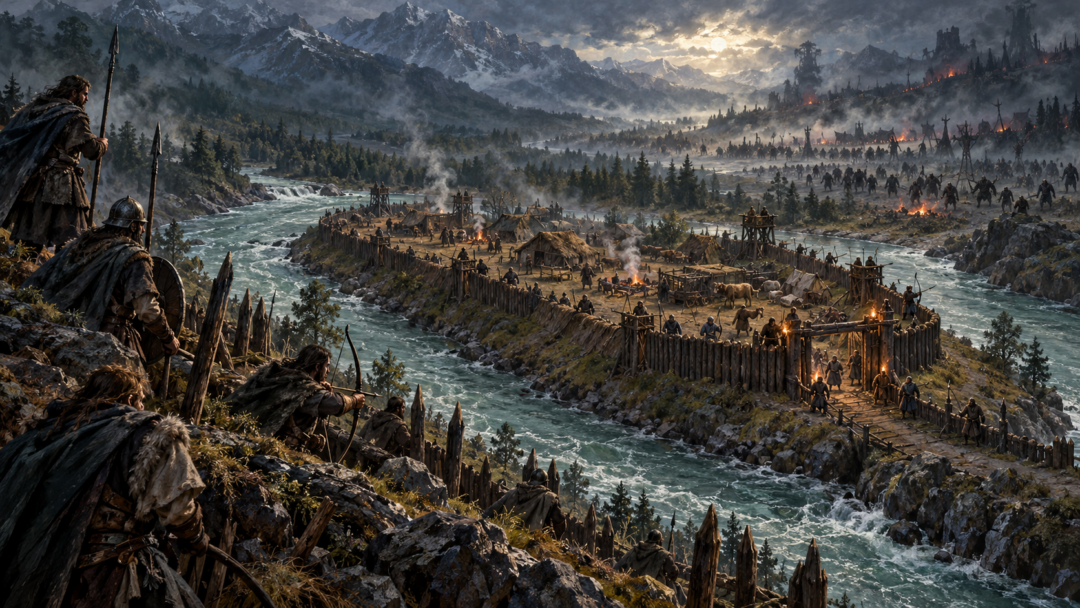
The Haladin complicate the opposite bank even more. They entered Thargelion and dwelt there independently near Ascar. When an Orc-raid threatened them, Haldad gathered his people into a stockade in the corner formed by Gelion and Ascar. Caranthir later offered Haleth land under his protection, but she refused. Her people did not thereby create a new lasting border-state east of Gelion; they moved on, first to Estolad for a time and eventually toward Brethil.
This episode prevents an easy equation between political association and residence. The Haladin can live within the geographical region associated with Caranthir without simply becoming his subjects. Caranthir can offer land without proving that every inhabitant of Thargelion stood in one uniform relationship to him. The narrative gives specific acts of refuge, defense, refusal, and migration. It is more revealing to keep those specific than to turn them into institutions the text never describes.
There may also have been East Sindar in the broad open lands east of Doriath, engaged in farming and exchange, and Estolad has been proposed as fitting that description. But the placement is not explicit enough to turn into a precise population map. That uncertainty is useful: named regions are clearer than the complete distribution of the peoples who moved through them.
War Changes Control Faster Than Geography
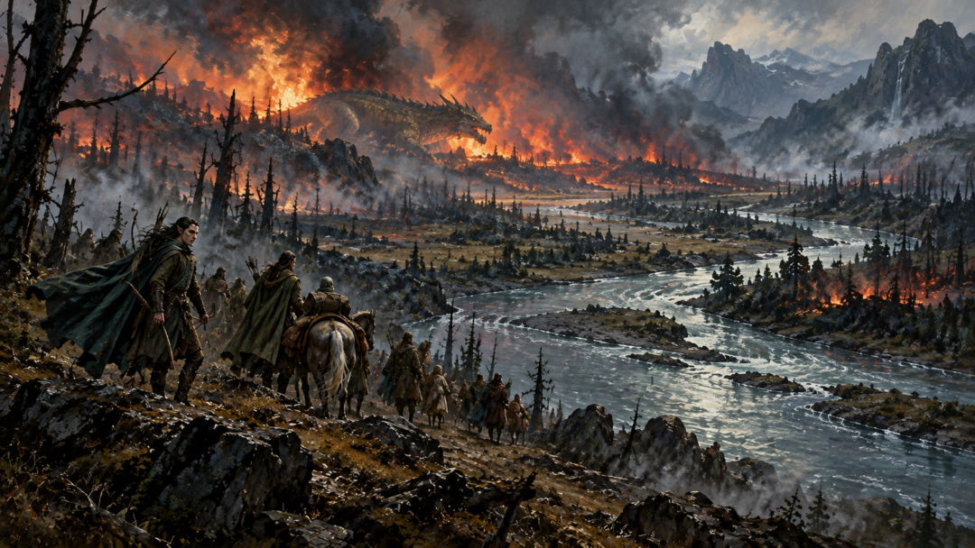
The great wars of the First Age expose the weakness of treating Gelion as an unchanging political line. During the Dagor Bragollach, the northern defensive system breaks down. Glaurung ravages the land between the arms of Gelion; Thargelion is overrun; Caranthir flees south with survivors. The streams still run where they ran, but the military meaning of the lands around them changes violently.
A ward exists because defenders can hold it. A lord’s land is politically meaningful because people can inhabit, defend, and move through it. Once those conditions collapse, the old names remain useful for telling us where disaster happened, even when the earlier pattern of authority no longer functions. The map has not become false. It preserves one layer of information while history has altered another.
Later danger in East Beleriand makes the same point from the perspective of travel. The country between Aros and Gelion becomes unsafe enough that Dwarves journeying between the Blue Mountains and the west no longer go in small parties but in large armed companies. The river has not moved. What has changed is what the surrounding landscape permits: roads and crossings remain, while security and effective control deteriorate.
Gelion is therefore most accurate when read reach by reach: fork and ward in the north, dividing line between Estolad and Thargelion after the confluence, western boundary of Ossiriand below Ascar. Those are concrete relationships, not pieces of one hidden constitutional frontier. No treaty system, census, customs regime, or uninterrupted sovereignty is needed to make the map intelligible.
East Beleriand becomes clearer when Gelion is allowed to be a river before it is forced to be a border. Its branches can cradle a ward; its middle course can divide named lands; its lower course can edge the Seven Rivers. People cross it, settle beside it, flee across its country, and lose control of lands it still names. The river endures as the clean line. History is the part that refuses to stay still.
Sources & Notes
- Tolkien Gateway, Gelion — referenced overview of the headstreams, Maglor’s ward, Estolad and Thargelion, Ossiriand’s tributaries, and wartime changes; see especially The Silmarillion, ‘Of Beleriand and its Realms’. https://tolkiengateway.net/wiki/Gelion
- Tolkien Gateway, Thargelion — regional limits north of Ascar, Caranthir’s association with the land, the independent Haladin and Haleth’s refusal, and the devastation of the Dagor Bragollach. https://tolkiengateway.net/wiki/Thargelion
- Tolkien Gateway, Estolad — Bëorian and Marachian settlement, subsequent migrations, and the explicitly uncertain placement of East Sindar; references include ‘Of the Coming of Men into the West’. https://tolkiengateway.net/wiki/Estolad
- Tolkien Gateway, Ossiriand — Gelion as the western boundary of the Land of Seven Rivers, the surrounding rivers and mountains, and the Green-elves’ settlement and political history. https://tolkiengateway.net/wiki/Ossiriand
- The Encyclopedia of Arda, Sarn Athrad — the stony Gelion ford carrying the Dwarf-road from the Blue Mountains into East Beleriand. https://www.encyclopedia-of-arda.com/s/sarnathrad.html
Primary reading: The Silmarillion, ‘Of Beleriand and its Realms’, ‘Of the Coming of Men into the West’, and ‘Of the Ruin of Beleriand and the Fall of Fingolfin’. The linked reference entries support the geography and settlement history; the distinction between regional boundaries and a single permanent political frontier is this article’s interpretation, not a quoted constitutional rule. The proposed East Sindar presence in Estolad remains uncertain.