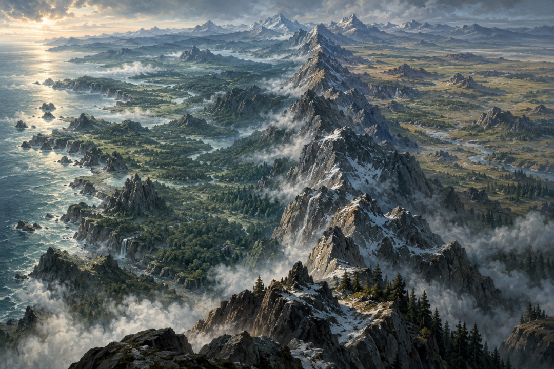
Open a map of Beleriand beside a map from The Lord of the Rings and a tempting question appears almost immediately: where, exactly, would Gondolin, Doriath, Nargothrond, or Angband fall on the later map?
It seems as though there should be a neat answer. The Blue Mountains appear in both geographical traditions. Beleriand lay west of them; Eriador lay east. Surely, then, the two maps can simply be aligned along Ered Luin and everything else will fall into place.
But this is where Middle-earth resists modern cartographic precision.
There are genuine geographical anchors connecting the First Age with the later world. Yet the end of the First Age was not merely a political transition. Beleriand was catastrophically broken during the War of Wrath, much of it passed beneath the sea, the Blue Mountains themselves were altered, and the coastline of northwestern Middle-earth was transformed.
More importantly, the surviving maps do not provide enough fixed measurements to reconstruct every lost First Age location against Third Age Eriador with surveyor-like certainty.
The result is a fascinating distinction: Beleriand can be placed broadly in relation to the later Middle-earth, but a perfectly precise overlay goes beyond what the texts and maps securely establish.
The Most Important Anchor Is the Blue Mountains
The strongest geographical connection is Ered Luin, the Blue Mountains.
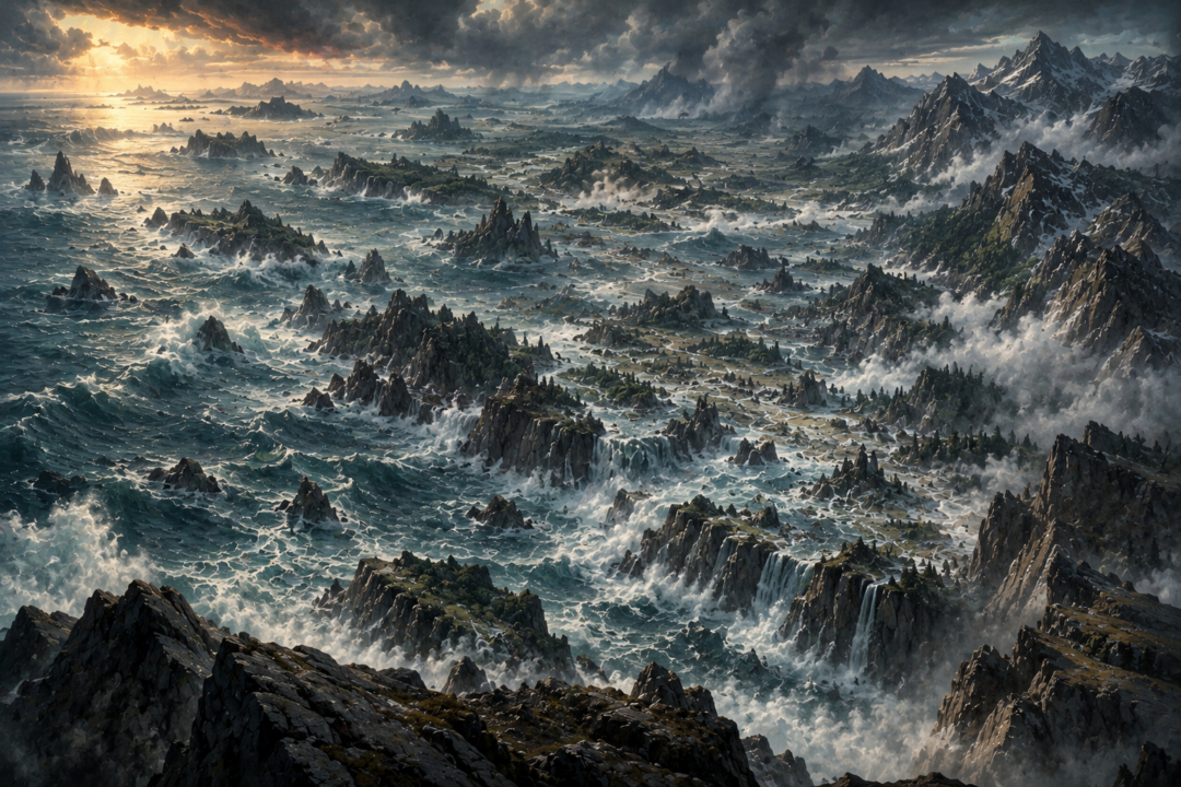
During the First Age, this mountain chain formed the eastern boundary of Beleriand. Beyond it lay Eriador. Ossiriand, the easternmost great region of Beleriand, stood against the western slopes of the mountains, watered by rivers descending from Ered Luin.
The Dwarf-cities of Belegost and Nogrod were associated with these mountains, and the range formed a genuine barrier between Beleriand and the lands farther east.
That single fact prevents one common misconception.
Beleriand was not simply an ancient name for the region later containing the Shire, Bree, and Rivendell. Those places belong to Eriador, which already existed east of the Blue Mountains while Beleriand lay on their western side.
In other words, if someone places most of Beleriand directly over Third Age Eriador, the basic geography has already gone wrong.
The Blue Mountains are the hinge between the two worlds.
But they are not an unchanged ruler against which every point can safely be measured.
The War of Wrath Changed the Map
At the end of the First Age came the War of Wrath, the immense conflict in which the host of the West overthrew Morgoth.
The Silmarillion describes the destruction in enormous terms. Beleriand was broken, and most of the lands in which the great histories of the First Age had unfolded disappeared beneath the sea.
This means that the later western coast is not simply the old coastline moved slightly eastward.
The entire geographical relationship between land, mountains, rivers, and sea had been violently altered.
The Blue Mountains survived, but not unchanged. In the later geography they are broken by the Gulf of Lune, which reaches inland toward the Grey Havens. West of the range survive the lands of Lindon, divided by the gulf into Forlindon and Harlindon.
That surviving territory is enormously important because it provides one of the clearest remnants of the elder geography.
Yet even here, continuity does not mean that the whole First Age landscape can be reconstructed precisely.
The catastrophe destroyed most of the reference points that would make such a reconstruction possible.
Lindon Is the Great Surviving Clue
In the First Age, the name Lindon was associated with Ossiriand, the Land of Seven Rivers in eastern Beleriand.
After Beleriand’s ruin, land west of the Blue Mountains remained above the sea and became the Lindon familiar from the Second and Third Ages.
This creates a genuine geographical continuity.
When Frodo’s world looks west toward Lindon, it is looking toward surviving land connected with the geography of the Elder Days. The Grey Havens stand in a landscape shaped by the destruction that ended the First Age.
That makes Lindon one of the best anchors for imagining the scale of what was lost.
The great realms of Beleriand — Doriath, Nargothrond, Gondolin and the northern territories contested by Morgoth and the Noldor — had largely stood farther west or northwest of this surviving edge.
By the Third Age, the sea occupied most of that space.
The emptiness west of Lindon is therefore not an empty part of the old map. It is, in a profound sense, where much of the old map went.
Why Matching the Blue Mountains Still Does Not Solve Everything
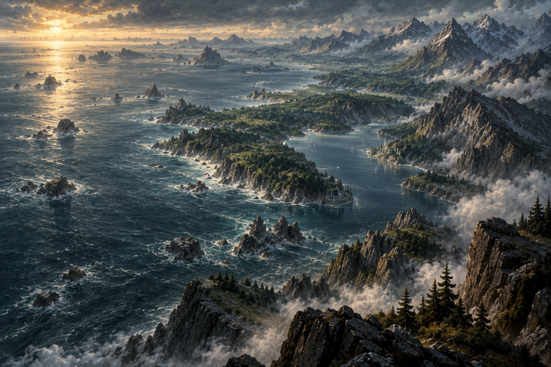
It is natural to take a First Age map, take a Third Age map, resize one until the Blue Mountains roughly match, and assume that the result reveals the exact relationship.
It can produce a useful visualization.
It should not be mistaken for a canonical coordinate system.
One problem is that the Blue Mountains themselves suffered disruption. Another is that the surviving maps come from different stages and purposes of the legendarium and are not presented as modern geodetic surveys with a shared grid of exact coordinates.
Even when broad relationships are clear, exact scale and alignment can remain uncertain.
Suppose, for example, that an overlay places a famous First Age location at a particular point in the Third Age sea. That may be a reasonable approximation based on the available maps. It does not automatically follow that the texts establish that precise latitude and longitude.
The distinction matters.
A map can communicate Tolkien’s geography faithfully without supporting every mathematical inference made from it.
The Surviving Islands Offer More Evidence — and More Caution
There are tantalizing traces of drowned Beleriand in later geographical material.
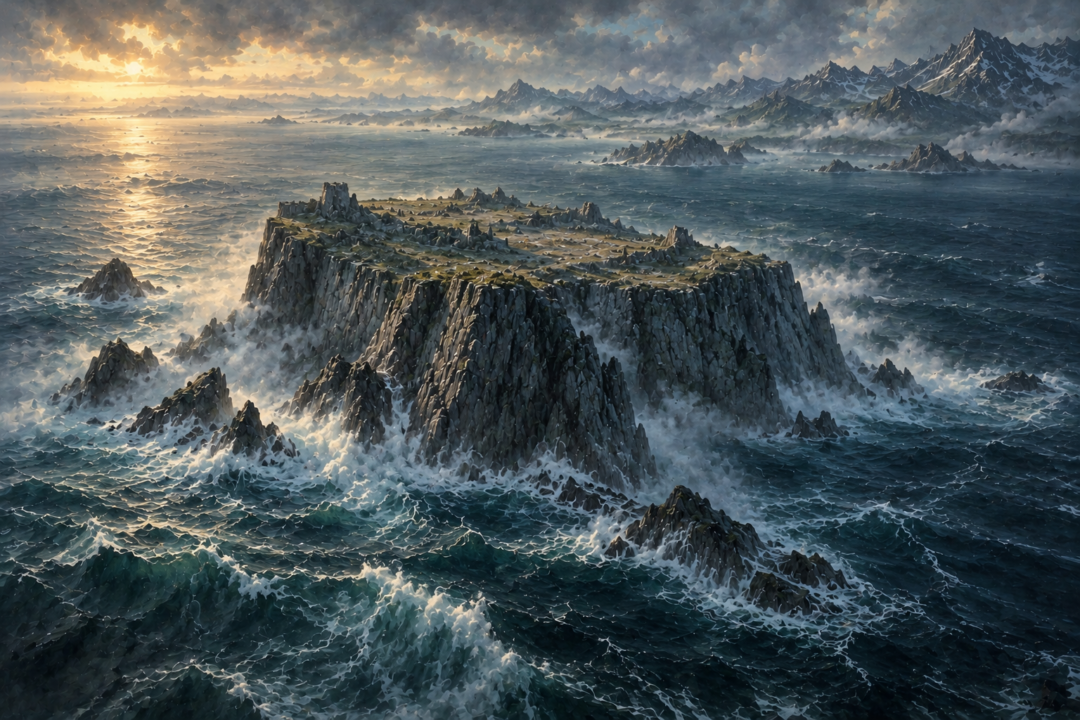
Himring, the great hill where Maedhros maintained his fortress in the First Age, survived the drowning as an island. Later map traditions also preserve islands associated with the old northern lands, including Tol Fuin.
These remnants are extraordinary because they allow us to see the drowned world not simply as a vanished mythic continent, but as a landscape whose highest points could still project above the sea.
Imagine the transformation.
A fortified hill once surrounded by marches, passes, armies, and roads becomes a lonely island in Belegaer. Highlands once joined to vast territories become isolated remnants surrounded by water.
These survivals help confirm the broad relationship between Beleriand and the later coastline.
But they do not create enough fixed points to reconstruct every First Age river valley, kingdom, fortress, and road with perfect precision.
They give us fragments of the old geography rather than a complete surveying network.
Eriador Was Not Created When Beleriand Sank
Another source of confusion comes from treating the First Age and Third Age maps as though one landscape simply replaced another.
Eriador was already there.
The lands east of the Blue Mountains formed part of the geography through which the Elves passed during their ancient westward journey. The Blue Mountains separated those eastern lands from Beleriand.
That means the end of the First Age did not transform Beleriand into Eriador.
Instead, most of Beleriand disappeared while Eriador remained east of the mountains.
This is the key mental picture.
First Age:
Belegaer — Beleriand — Blue Mountains — Eriador — Misty Mountains
Later Ages:
Belegaer — surviving Lindon — altered Blue Mountains/Gulf of Lune — Eriador — Misty Mountains
That simplified sequence is far safer than imagining Beleriand sitting on top of the Shire and Arnor.
The western edge of the inhabited world had effectively retreated eastward because immense territories had vanished beneath the sea.
What About Angband and Thangorodrim?
The northern geography makes precise overlays even more difficult.
Morgoth’s stronghold of Angband and the peaks of Thangorodrim belonged to the far northern theatre of the First Age, beyond the central lands of Beleriand. The wars of the Noldor were shaped by this northern frontier: Hithlum, Ard-galen, Dorthonion, the March of Maedhros, and the approaches to Angband all belonged to a landscape that was devastated during the final war.
Later northwestern Middle-earth contains the cold regions of Forodwaith and Forochel, but the existence of those later northern lands does not justify assigning Angband to one exact Third Age location without qualification.
Broad geographical comparisons can be made.
Exact coordinates cannot be recovered confidently from the published evidence.
This is especially important when modern fan maps produce extremely clean overlays. Their precision can make an inference look like a fact.
The underlying evidence is not always equally precise.
The Sea Is the Real Map of Beleriand’s Fate
Perhaps the easiest way to understand the relationship is to stop asking, “What Third Age country replaced Doriath?”
None did.
Much of the answer is water.
Menegroth, the forests of Doriath, the valleys around Sirion, Nargothrond, the Falas, and enormous portions of the lands crossed by the heroes of the First Age belonged to a world that was physically lost.
The Third Age map therefore contains a kind of enormous negative space.
West of the Blue Mountains lies the sea, but readers of the Elder Days know that the sea covers memories: kingdoms, battlefields, roads, forests, rivers, and graves.
That is why an overlay can be emotionally powerful even when it cannot be perfectly exact.
It reveals just how much disappeared.
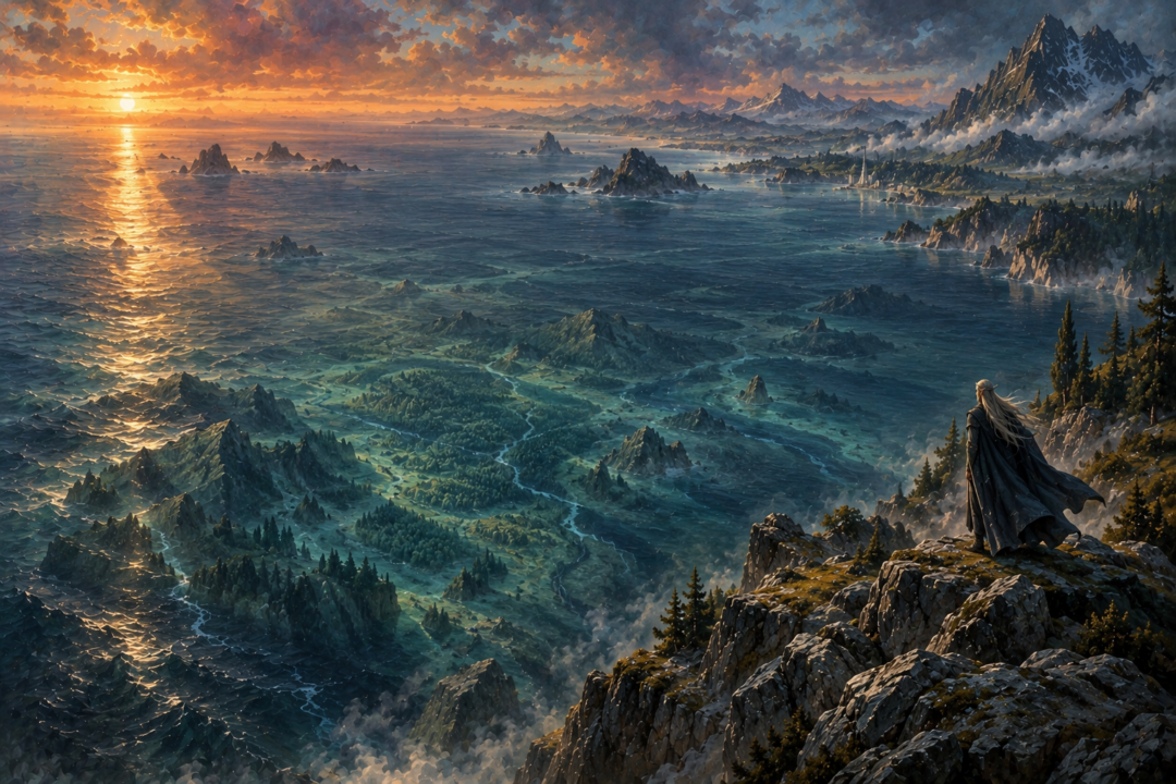
What We Can Say With Confidence
The broad geography is remarkably clear.
Beleriand lay west of the Blue Mountains. Eriador lay east of them. The War of Wrath destroyed and submerged most of Beleriand. Portions of the eastern lands survived as Lindon. The Blue Mountains remained but were altered, with the Gulf of Lune cutting through the later landscape. Some high places from the drowned lands survived as islands.
Those facts allow a meaningful approximate reconstruction.
What they do not provide is a flawless one-to-one transformation in which every First Age location can be assigned a certain position on the familiar Third Age map.
That uncertainty is not a flaw in Middle-earth.
In some ways, it strengthens one of its deepest themes.
By the time Bilbo and Frodo walk through Eriador, the great kingdoms of the First Age are not merely ancient ruins waiting beyond the next hill. Many have vanished from the earth itself.
The Blue Mountains still stand. Lindon still remembers the Elder Days. A few remnants remain above the western sea.
Beyond them lies Belegaer.
And beneath its waters is most of Beleriand.
Sources & Notes
- Tolkien Gateway, “Blue Mountains” — places Ered Luin between First Age Beleriand and Eriador and describes its later breach. https://tolkiengateway.net/wiki/Ered_Luin
- Tolkien Gateway, “War of Wrath” — describes the destruction of Beleriand and formation of the Gulf of Lhûn. https://tolkiengateway.net/wiki/War_of_Wrath
- Tolkien Gateway, “Lindon” — identifies surviving Ossiriand/Lindon west of the mountains and the later gulf dividing it. https://tolkiengateway.net/wiki/Lindon
- Tolkien Gateway, “Ossiriand” — locates the First Age region at Ered Luin and explains its survival as Lindon. https://tolkiengateway.net/wiki/Ossiriand
Sources distinguish Beleriand from Eriador using Ered Luin and document the War of Wrath, surviving Ossiriand/Lindon, and the Gulf of Lune.